5 Google Maps tricks to make your travels more efficient, fast, and fun
For many of us, Google Maps is an indispensable tool but not one whose advanced features we spend that much time exploring. While it’s a solid choice for simply getting from point A to point B without much fuss, here are some helpful features and functionality that let you do a lot more than simply arrive safely.
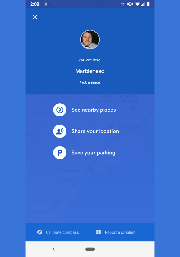
1. Automate your ETA
Technology has a quick and dependable answer to the age-old “Where are you?” question. Open Maps on your phone, and tap the little blue dot that represents your current location. From there, you’ll have the option to share your location with your contacts. You’ll also notice the option to save your parking spot location, should you routinely find yourself unable to reliably answer the not-quite-as-age-old “Dude, where’s my car?” question.
There are other options and means by which to share your location, ask for someone else’s location, share your trip progress once you’ve started navigation, and more. Check out additional info directly from the source.
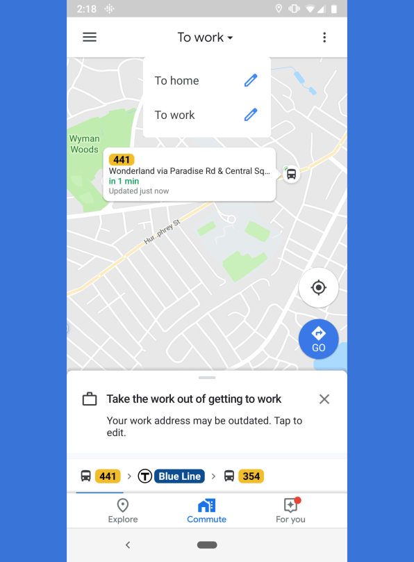
2. Conquer your commute
Hell hath no fury like a commuter scorned, so it’s helpful to arm yourself with as much data as possible before you leave the house. Opening the Maps app, you’ll notice a big Commute button in the middle of the menu on the bottom. Tap it, and if you haven’t told Google how you commute yet, set that up by tapping the three buttons to the right (Android) or Menu > Settings > Commute settings (iPhone) and then specifying whether you’re going to commute by car, public transport, foot, or bike.
If you choose the public transit option, for instance, you’ll see nearby buses approaching so long as Google has access to your transit system’s real-time data. No matter how you get to work, you can also choose which times you’d like to arrive and leave, and on which days, so that Google can help you plan your route accordingly. More info here.
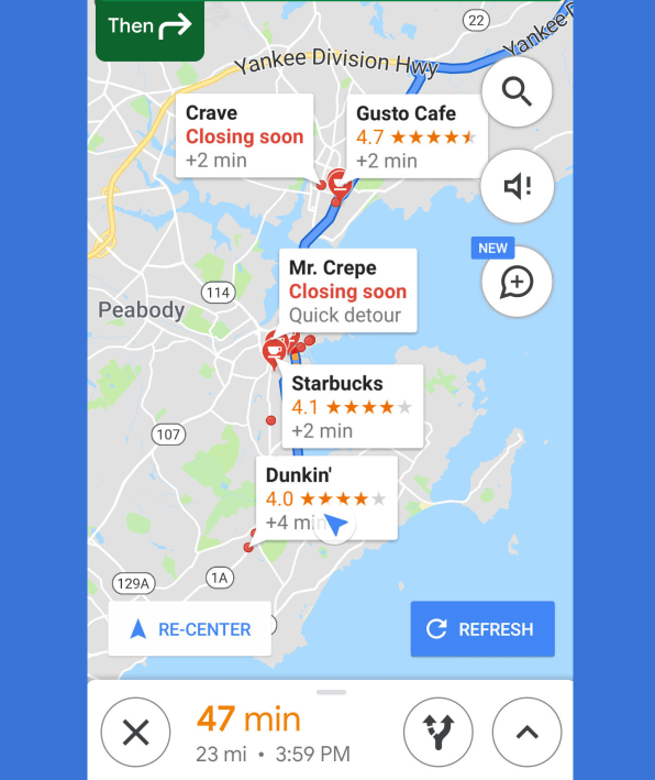
3. Expedite your errands
Everybody’s working for the weekend, only to find a long list of things left undone at the end of the week. If that sounds familiar, you can find quick stops along your route that don’t take you too far off the beaten path. While you’re in navigation mode, tap the estimated time at the bottom of the screen to bring up a handful of options. From there, choose “Search along route” to find gas stations, restaurants, grocery stores, and coffee shops—or search for something specific, and you’ll be presented with where each are located along the way, including how much time you’ll need to devote to your detour.
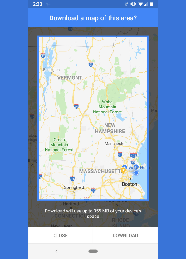
4. Sidestep shaky signals
There are still vast swaths of this great country that are prone to substandard cell phone service, which makes it difficult to expeditiously pull down ever-changing maps. You can thwart such inconvenience by pre-emotively downloading large chunks of land almost entire regions by using Maps’ offline mode. Search for a general region or landmark, then tap the name of it and select Download (Android) or More > “Download offline map” (iPhone). Then while you’re driving through the region you downloaded, should your signal sputter out, Maps will carry on without skipping a beat. More info here.
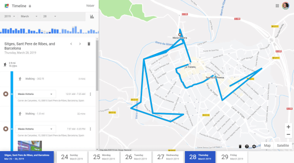
5. Retrace your roamings
Remember that great pub you went to while you were in that tiny Spanish town you forgot the name of way back in March? No? Well, for better or worse, Google probably does. Pull up the Timeline feature in your browser (here’s how to do it on Android and on iOS) to review your day-by-day whereabouts virtually. And, man, does it go way back: I’m able to retrace my steps starting around 2012. Don’t like being followed? You can review, manage, or even delete the location history that Google has on you by following the instructions here.
More fun with Google Maps
Nothing wins friends and influences people quite like showing off some Google Easter eggs, and there’s no shortage of Google Maps and Google Earth-specific goodies to try: see the running list here.


